Post History
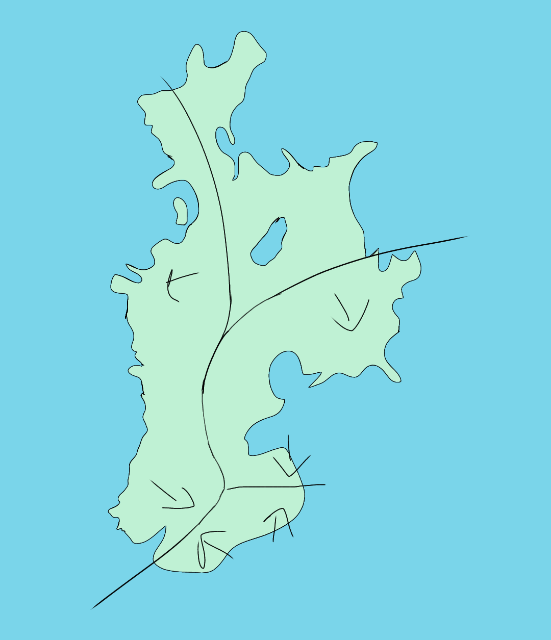
I've sketched out an island, and then threw some tectonic plate boundaries on top hoping it would help me plot mountains. But the more I look at geological diagrams of plate boundaries, and read u...
#1: Initial revision
Where should my island mountain ranges be, based on my plate tectonics?
I've sketched out an island, and then threw some tectonic plate boundaries on top hoping it would help me plot mountains. But the more I look at geological diagrams of plate boundaries, and read up on them the more confused I get. Here's my island:  I put the boundaries there thinking they made sense for the island shape, but I'm not sure anymore. Where should my island mountain ranges be, based on my plate tectonics? Or do I need to redraw the plate boundaries?


